But as we get on to more north facing slopes, the snow gets a little bit more significant. so we just cut up to the ridge top and followed the ridge.
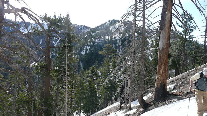
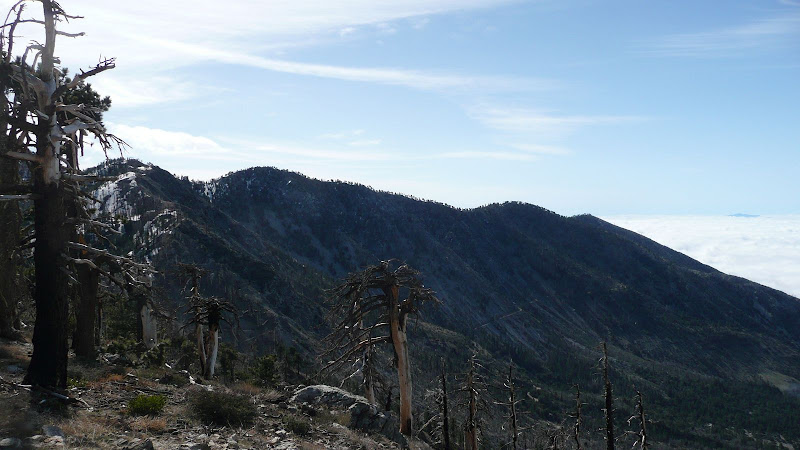
The ridge top is a good route and provides some nice views. The Mojave Desert:

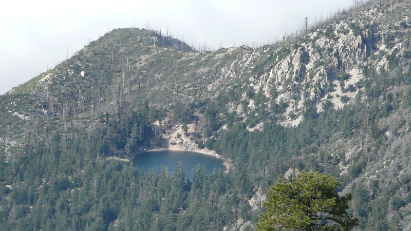
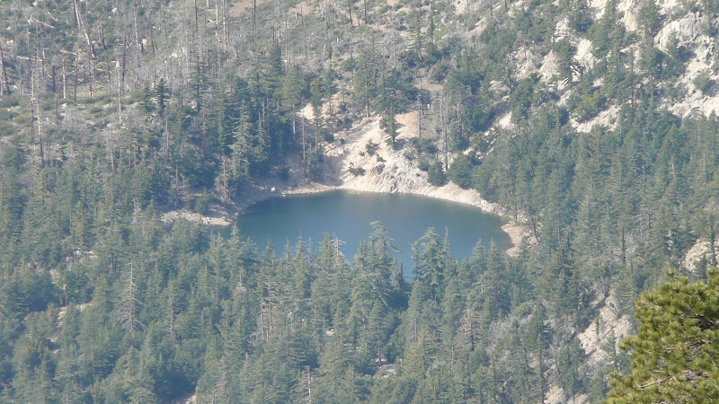
Crystal Lake.
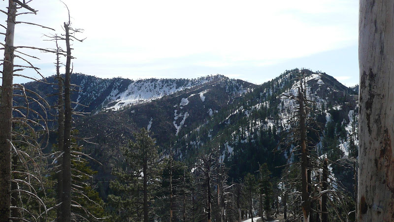
On the far horizon, Throop Peak (left) and Mount Hawkins (right).
Beyond Islip Ridge, Mount Harvard (left), Mount Wilson (middle, with observatory domes and many antennae), and Occidental Peak (right, very apical).

On the far horizon, Middle Hawkins (left), "Sadie" Hawkins (middle), and South Mount Hawkins (right).
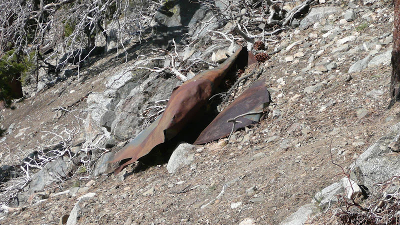
Coming along, we encounter this old bit of sheet metal which I assume was the roof or something of the old fire lookout.
Almost to the summit, we come to the junction with the spur trail to the peak. The topo map (see above link) shows the spur trail going west and then ascending before it reaches the spine of the major SW trending ridge of Mount Islip. Not correct. The trail
does reach the spur of the SW trending ridge, and whether summer or winter, ascending the spine makes a lot more sense than following the trail which is a roundabout waste of time. Right now, with heavy snow still on the north face, the SW ridge makes even more sense.
From the junction, the Islip Ridge trail generally follows the SW trending ridge. This will be our return route to get back to Crystal Lake. Clearly, this trail has gotten a lot less use than the trail from Windy Gap.


 Previous Topic
 Index
Index


