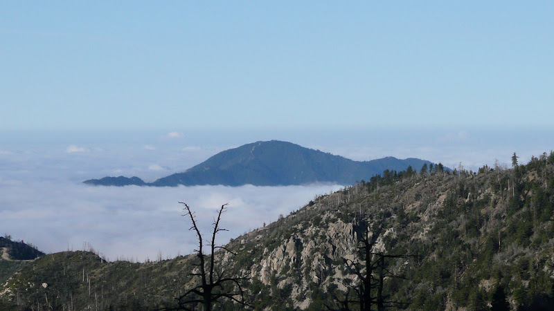
I believe that's Monrovia Peak off to the right.
The trail sign at the upper road crossing is blackened but it survived the fire.
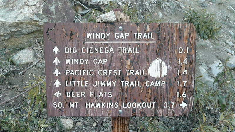
A bit further on, we come to the junction with the Big Cienega trail which will be our return route.
Contrary to what some maps show, the Big Cienega Trail junction is not at the upper road crossing.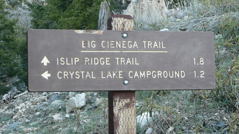
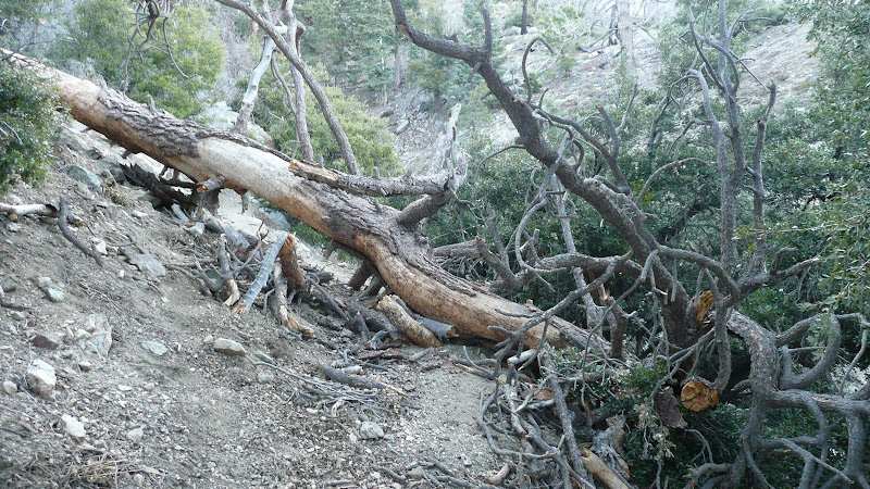
Just past the junction, we come to the first of many downed trees. My friend Will said that he counted more than 45 downed trees that we had to clamber over or around.
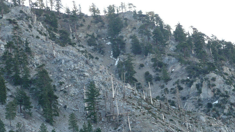
The last vestiges of snow on South Hawkins Ridge.
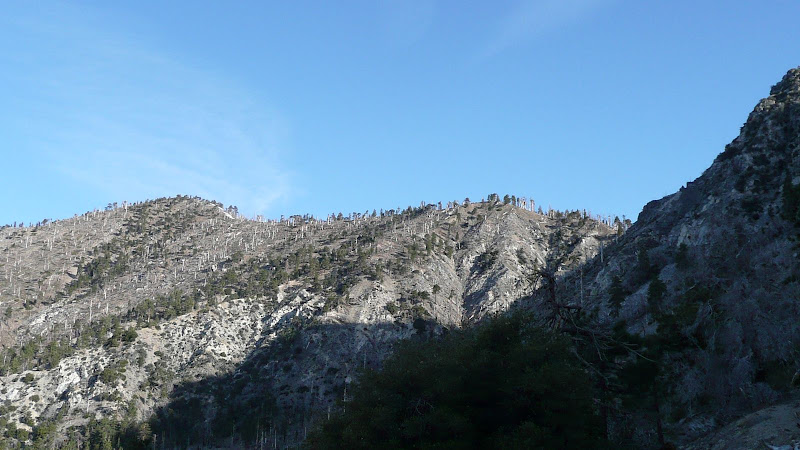
Mount Islip from the Windy Gap Trail. Very little snow.

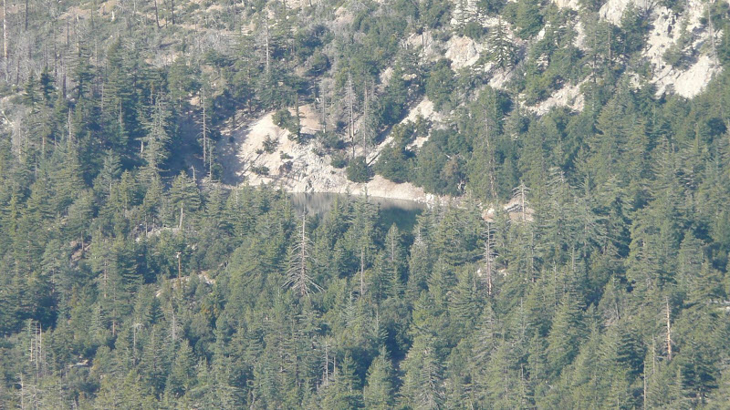
As we approach the gap, Crystal Lake starts becoming visible.


 Previous Topic
 Index
Index


