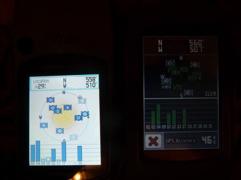
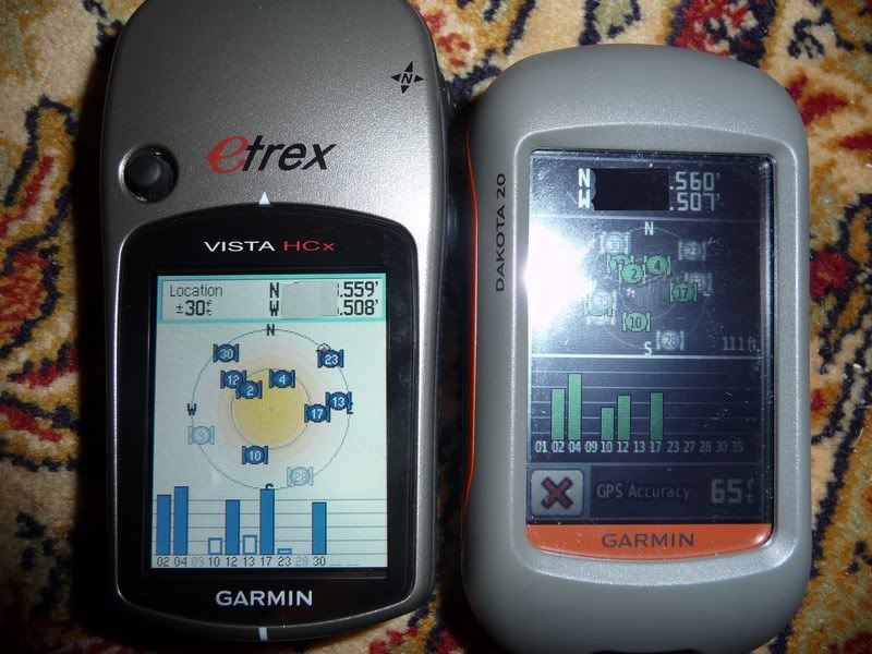
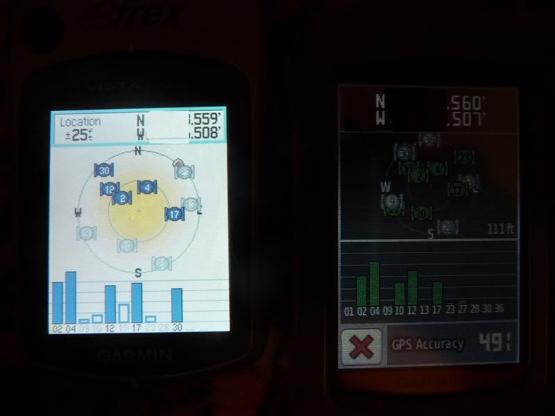
GPSFix, That's a lot better review than mine, night and day difference. These pictures below are just a quick example that I shot real quick and yes some of the Lat and Long are chopped a little (not that it wouldn't take you 3 secs to really locate this position) but anyway here is my brief observation. Your analysis on the accuracy of the Dakota is the spot on where mine is very crude. Overall the
Dakota gave steady readings and the HCX varied quite a bit, the Dakota locks on instantly but as you said it is probably the hot fix. The Delome Topo 8 was used as a baseline and I used the fixed map readings and not the bluetooth earthmate GPS. The Dakota was the most accurate in elevation, and
for Lat and Long the HCX was closer but the readings varied quite a bit. So who's right?
This is only a quick sample though.
Overall I've manage to store a whole lot of maps on 2- 4 gig micro SD cards which you can store both in the battery compartment but only one in the unit which I like. I'm still experimenting with maps right now. Also I wish they would let you customize the routing like quickest or shortest. It routes you through back roads to much when using it in car mode. Minor software fixes needed but Garmin has always been good with that. I'm actually starting to like it more than the HCX (except for the screen). That's the biggest issue I have is with the screen. The HCX is still all in all the better of the units for overall functions but the Dakota has more capability and I love how small this thing is. It's a little powerhouse when loaded up and is so much faster than the HCX in doing everything. HCX is like a M-1 to a M-16, HCX is old tried and true, the Dakota is hopefully a start on more better units to follow.
HCX
25-30 feet elevation
Lat N 558-560
Long W 508-510
Dakota
111 feet elevation
Lat N 560
Long W 507
Delorme Topo 8 (Very accurate base map)(I trust this data)
79 feet elevation
Lat N 496
Long W 554


