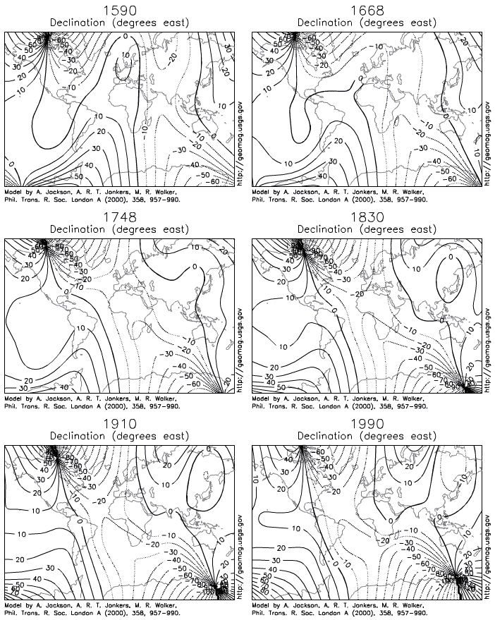
One thing to remember is that improper use of a magnetic compass (without properly adjusting for magnetic declination) can make a mess of following GPS goto waypoint bearings. Declination can be as much as 20-30 degrees in Alaska. In that case they'd be much better off simply following the GPS's compass tool - whether it has an electronic compass or not.

I never really use a GPS for the calculation of bearings or azimuths, I only ever use the GPS just to record a positional fix directly associated with the OSGB grid paper map (regarded by myself as cheating, but is definitely useful when the occasional resection is impossible i.e. in a whiteout, fog or darkness and thickly wooded areas) as the navigational azimuths are done using just map and compass work only. The magnetic/grid/true north variance or declination is just calculated or noted prior to compensating for that variance with the azimuths being taken from the paper map directly. The same applies for any visual azimuths made using the compass when this azimuth is transferred to the paper map.
The Garmin Etrex provides a North reference in its firmware using the following types of variance from True North whereby Magnetic North is 5 degrees West and Grid North is 1 degrees West (for OSGB datum) for my current location. A User magnetic declination can also be entered. The GPS can then account for users who are navigating using a normal compass and not having to take into account the magnetic declination. The User of the GPS will of course still have to have an understanding of the difference between True, Magnetic and Grid North actually is. Not knowing that difference and how the GPS is setup in its firmware could cause some considerable error in navigation if a GPS and ordinary compass are used together in conjuction. For example the Etrex GPS might have been setup with a User magnetic/true north declination of say -180 degrees. The GPS may well be telling you to go North whilst your ordinary compass is pointing you South.
Does anyone know if the Etrex calculates the Magnetic/True/Grid North declinations from its own current position and time? The User manual doesn't say how it calculates the North References. This could be critical especially around the north and south magnetic polar regions for producing accurate azimuths from the GPS itself as the magnetic declination will shift rapidly with changes in position and time throughout the year.
Edit - I've just looked up the accuracy of the electronic compass built into the higher spec Garmin models. Accuracy is a stated +-5 degrees. So for many areas in the world relying on the electronic compass is just as pointless as not compensating for the Magnetic/True North declination in the first place.